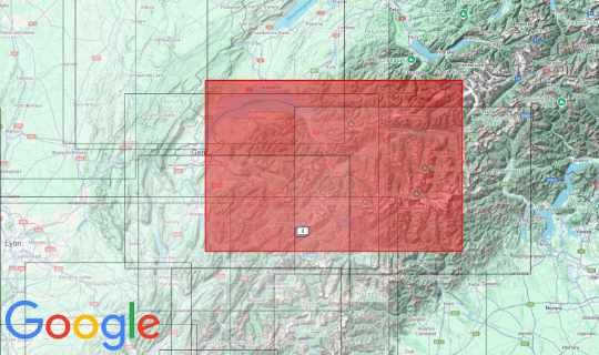
The map, which will be launched in summer 2024, is part of a series that is intended to depict most of Switzerland. The data comes from Swisstopo. In the east we continue with the Ticino map and in the north with the Jura and Bern maps. Soon we will have pictures showing all four cards side by side. On the map there is the Cret de la Neuve in the northwest, the Jungfrau in the northeast, Monte Rosso in the southeast and the Legend in the southwest.
Manufacturer and idea: Geobit, Holzstraße 13/1 72622 Nürtingen www.3d-relief.com
Size: 93 x 63cm
Scale: 1: 150,000