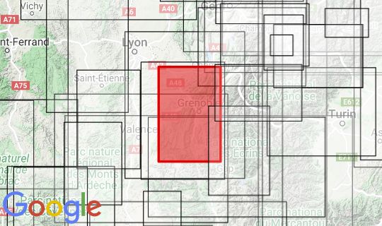
In the middle of the Charteuese and Vercors relief map is the Col der Rousset. This pass caught our eye straight away. Otherwise, the manufacturer IGN France can only be congratulated on how successful this card is. Very nice colors were chosen and the template was probably extremely precise, so that when you look at the map you remember that the mountains of the Vercors plateau actually 'fall backwards'. Always one of the most beautiful routes to France for me. In the northwest you can see Bourgoin-Jallieu, in the northeast Chambery, in the southeast the Montagne de Farraut and in the southwest Saillans. Sorry these days we are not able to send this map to GB.
Producer: IGN géographique et forestière 73 avenue de Paris F 94165 SAINT-MANDÉ CEDEX www.ign.fr
Scale: 1: 100 000
Size: 130 x 80cm
Speech: french