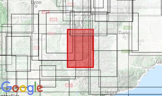
The relief map of the Massif des Ecrins generously encompasses the Ecrins National Park. Gap and Lac de Serre, Alpe d'Huez, La Grave and Briancon can also be found on the map. I would say: a map for hikers who want to avoid tourism in the main Alps and possibly also for cycling and motorcyclists. The map goes in the northwest from the Isere with Les Sept Laux, in the northeast with the border to Italy near Modane, in the southeast with Barcelonnette and in the southwest the Durancetal with Tallard and the legend.
Producer: 3Dmap S.A.S 99, Allée des Fougères 95 330 DOMONT www.3dmap.fr
Size: 41 x 61cm
Scale: 1: 175,000


