-
You do not have any products in your shopping cart yet.


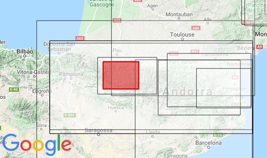
Raised relief map Pyrenees National Park


Kartenabdeckung (rot markiert)