A new idea for relief cards - they are rolled. When they are rolled out, this one lies flat after 10 minutes. A nice gift for someone who wants to walk the Portuguese part of the Way of St James. Is certainly very beautiful and less frequented than the Spanish part. The manufacturer plans to attach the map to the backpack - well, that wouldn't be for me. I would give it away beforehand if I wanted to meet someone ... has something of a message in a bottle.
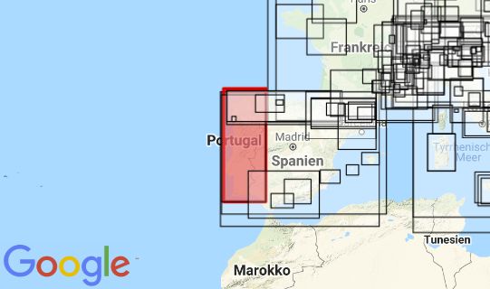
A beautiful and very accurate map in appealing colours. Essentially the same as the
normal map. It shows the Spanish north coast to Lastres, south along the coast to Cadiz.
Producer: All 3D Form Avda. Alcotanes 6D 28320 Pinto www.all3dform.com
Size: 39 x 19cm
Language: Spanish