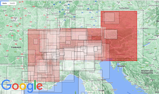
Seit Juni '25 können wir eine neue Edition unserer drei Alpenkarten im Maßstab 1:500.000 mit einem Gesamt-Format von ca. 243 x 123cm in einem Paket verschicken. Sie bestellen alle drei Karten zusammen. Die Karten überlappen sich, so daß jede Karte für sich lesbar ist. Ein komplettes Bild des des Alpenbogens entsteht. Es gibt keine Maschine, die ein so großes Motiv tiefziehen könnte und der Versand wäre auch unglaublich teuer.
Achtung das Design hat sich geändert.
Alpenkarte vom Mont Blanc bis zum Großglockner und von München nach Verona. Diese 3D Landkarte der zentralen Alpen ist also nicht nur eine schöne 3D Wandkarte für Ihr Büro oder Zuhause, sondern kann durch den Maßstab 1:500.000 bei Planungen Ihrer Alpenaktivitäten sehr hilfreich sein.
Reliefkarte der Alpen Ost vom Großglockner nach Wien und vom Bayerischen Wald nach Venedig. Diese 3D Landkarte der Ost-Alpen 1:500.000 zeigt weite Teile Österreichs und außerdem den Bayerischen und den Böhmerwald.
Diese 3D Landkarte der Ost-Alpen ist nicht nur eine schöne 3D Wandkarte für Ihr Büro oder Zuhause, sondern kann durch den Maßstab 1:500.000 bei Planungen Ihrer Alpenaktivitäten sehr hilfreich sein.
Im Nordwesten ist das Plateau de Langres, im Nordosten Colmar, im Südosten finden sich die Seealpen mit dem Cime de Gélas und im Südwesten Nîmes und Alés. Somit ist ein großes Stück vom Rhône-Tal und auch die Ardèche auf der Karte. Von den Alpen her ist das Massif des Mont Blanc und alle anderen wichtigen Berge der Westalpen zu finden. Im Süden ist der Mont Ventoux vollständig abgebildet. Im Ausschnitt leider nicht mehr zu finden ist der Lubéron.
Das tiefgezogene Plstik hat immerhin ein Recyclinganteil von 25% (PIR).
Hersteller: Geo-bit Holzstraße 13/1 72622 Nürtingen www.3d-relief.com
Überhöhung: 2,5
Maßstab: 1: 500 000
Format: je 63 x 93cm
Gesamt-Format: 243 x 133cm