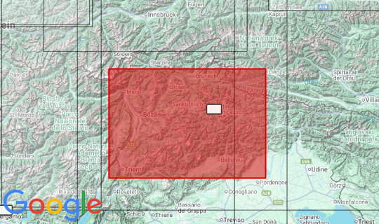
We've been working on this relief map for quite some time. We're finally happy with the result. Lienz Dolomites, Sexten Dolomites, Pragser Dolomites or Dolomiti Friulane - it sounds very familiar. We're also very happy with the exaggeration of 2 we chose, although the famous Three Peaks don't look as spectacular on our map as they do in reality. To the northwest is a small piece of Austria with the Hohe First, further to the east is the Pustertal. To the northeast is Tristach, or just no longer Lienz. Further to the southeast is the Tagliamento river flowing out of the map. To the southeast is the legend with the Magredi del Cellina, further to the west are the Belluner Prealps and the Valsugana and finally, in the southwest, Trento. The circle closes with the Val di Non in the west.
Producer: Geo-bit Holzstraße 13/1 72622 Nürtingen www.3d-relief.com
Scale: 1: 150,000
Size: 63 x 93cm